WEST RIM TRAIL (Top-Down from Lava Point)

Hiking Guide Photos 1 2 3 4 5 6

West Rim Trail photo (Zion National Park) -- © 2008 Joe Braun Photography
Small treeling with a big view at the edge of a two-thousand foot drop. Purchase a print of this photo!
Angels Landing (Zion National Park) -- © 2007 Joe Braun Photography
Scout's Lookout marks the junction with the Angels Landing spur trail. If you have the energy and a spare two hours and can handle the exposure, do this hike! Purchase a print of this photo!
Angels Landing photo (Zion National Park) -- © 2007 Joe Braun Photography
Heading down Walter's Wiggles, the clever set of switchbacks that take us down into Refrigerator Canyon.
West Rim Trail photo (Zion National Park) -- © 2016 Joe Braun Photography
Hikers zigzagging their way through Refrigerator Canyon. Purchase a print of this photo!
West Rim Trail photo (Zion National Park) -- © 2016 Joe Braun Photography
Zion Canyon and Red Arch Mountain in beautiful late afternoon light! Purchase a print of this photo!
West Rim Trail photo (Zion National Park) -- © 2016 Joe Braun Photography
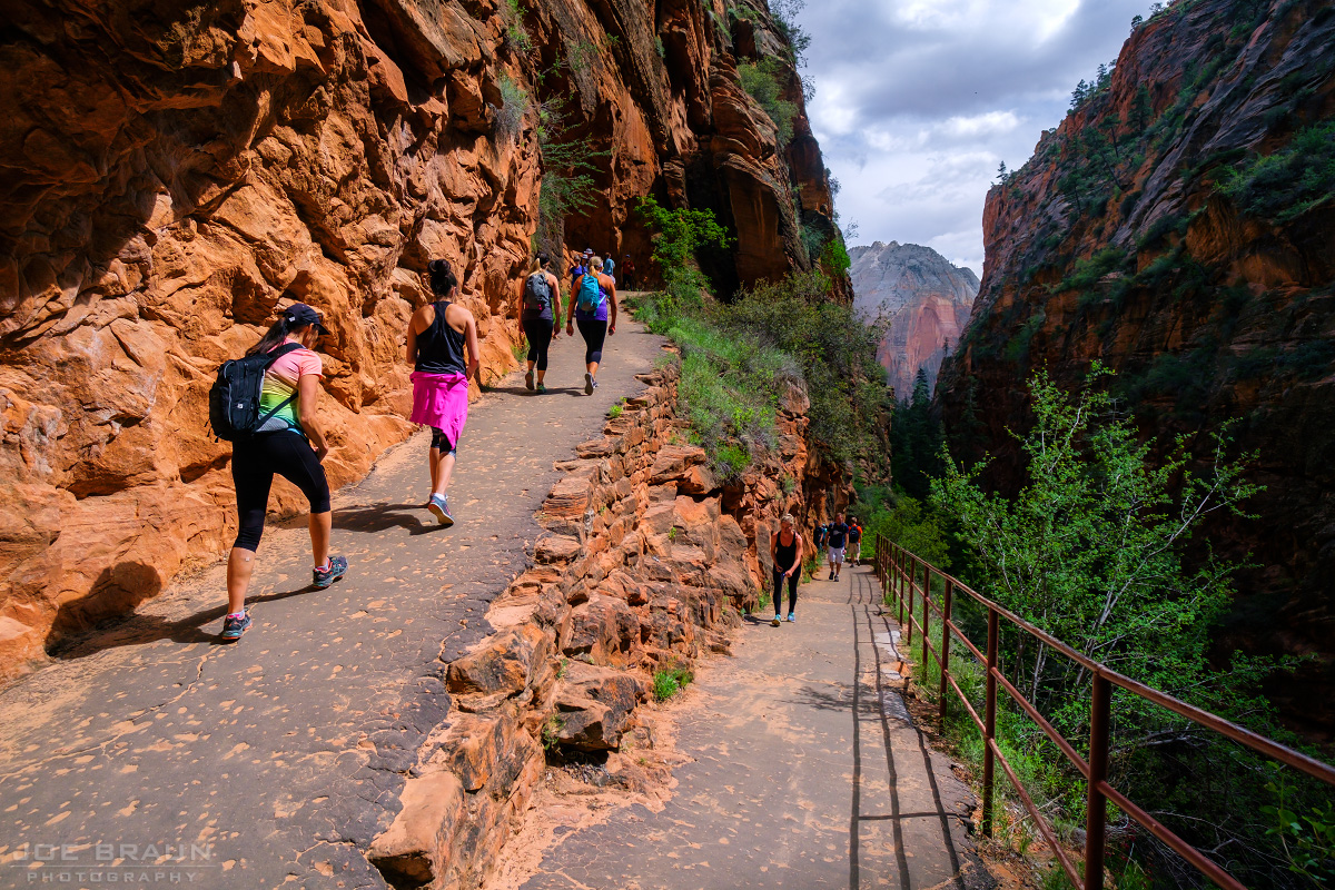
A final section of steep switchbacks takes us down to the floor of Zion Canyon. Purchase a print of this photo!
West Rim Trail photo (Zion National Park) -- © 2016 Joe Braun Photography
18.5 miles after leaving isolated Lava Point, we are happily near the Grotto and the end of our hike. Purchase a print of this photo!

VIEW THE HIKING GUIDE! Return to the Kolob Terrace

Please note: This web site and all images on this site are the property of CitrusMilo Adventures ©2026. Unauthorized public or commercial use of any of the images or text on this website without explicit permission is strictly forbidden.