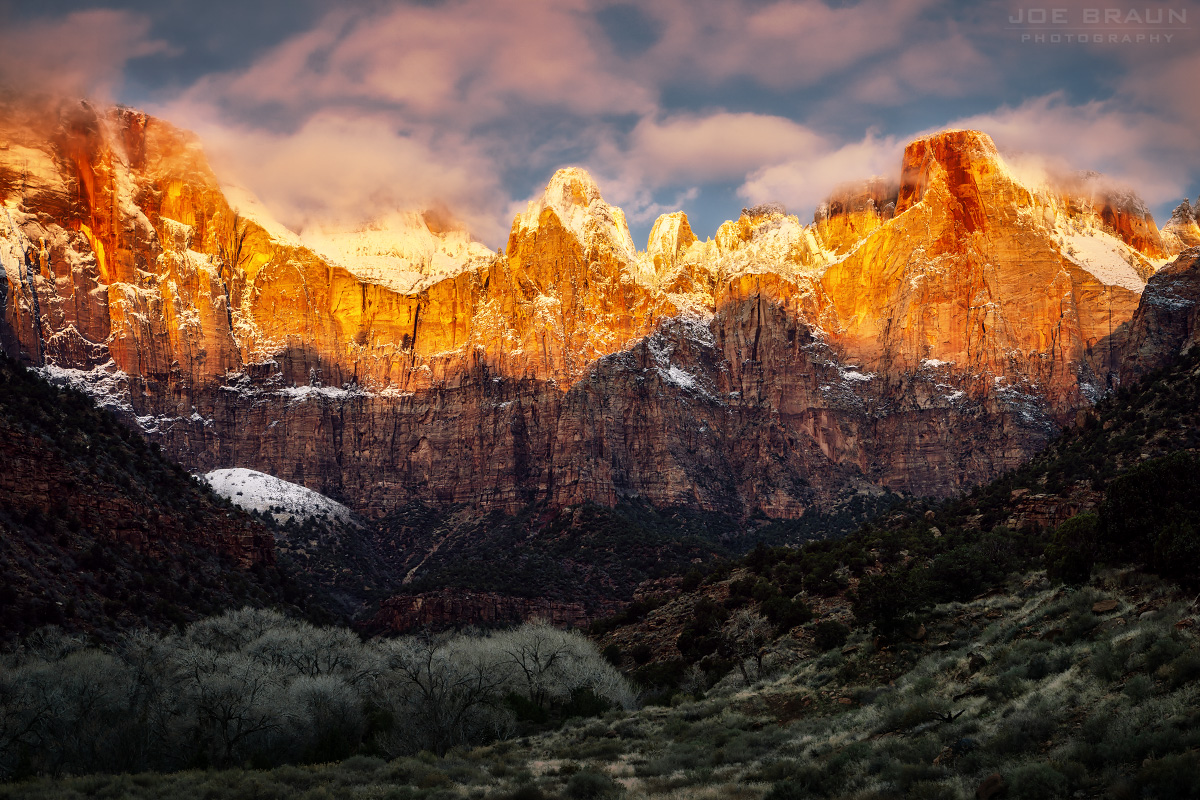
A dusting of snow over the Towers of the Virgin on a cold winter morning.
Weather, Water Levels, and Traffic!
Below are links for current weather forecasts for Zion Canyon and towns in the surrounding areas, water levels for the Virgin River, and various traffic webcams. While forecasts are not always 100% accurate, they can help you determine how safe it is to do a particular hike. Arm yourself with as much knowledge as possible before you enter the park, try to find parking, or start that big canyon hike.
Weather Forecasts for the Greater Zion Area:
SPRINGDALE is the gateway tourist town at the mouth of Zion Canyon and this forecast gives a good sense of potential conditions in the most popular area of Zion National Park.
ST. GEORGE is located roughly 30 miles southwest of Springdale. At a lower altitude than Zion Canyon, St. George is usually hotter and weather patterns often head to Zion.
ORDERVILLE is located roughly 6 miles north of Mt. Carmel Junction, roughly 10 miles east of the east border of Zion National Park. The forecast here may hint at conditions in the Upper East Canyon.
CEDAR CITY is approximately 20 miles north of the Kolob Canyons section of Zion National Park. At a higher elevation than Zion Canyon, temperatures are usually cooler.
Is it safe to hike the Zion Narrows today or tomorrow? Zion Narrows hikers should pay close attention to water gauge readings for the Virgin River. Two big factors for water levels are recent rains causing possible flash floods and spring runoff from snow melt in the high country north of Zion National Park. Spring snow melt after winters with a lot of snow can cause the Virgin River to flood well into May or even June.
When looking at USGS water data, CFS (cubic feet per second) is the important number. Levels below 50 cfs indicate relatively easy hiking conditions in the Zion Narrows. Above 100 cfs, hiking can be difficult or dangerous. A spike in the hundreds or even thousands indicates a flash flood from a recent rainstorm. The popular Zion Narrows "Bottom-Up" Day Hike is closed when flow is above 150 cfs for over 24 hours. The Zion Narrows Top-Down Hike is closed when flow is above 120 cfs.
The SNOTEL site is particularly useful during winter and early spring months when attempting to predict how strong and long the spring runoff will be in the Zion Narrows. View the Kolob SNOTEL Site Readings and click on the "View Current" option. The right column will show the remaining snowpack. When the number approaches 0, spring runoff will be over in a few days. Choose "View Historic" to compare snowpack to previous years. As reference, 2005 and 2011 were particularly snowy years and 2002 and 2012 were mostly dry.
East Fork Virgin River Water Levels:
40 cfs is close to "normal" for the East Fork in the drier months; levels that are much higher could indicate difficult or dangerous conditions in Parunuweap Canyon.
Driving to Springdale and trying to enter Zion National Park and find parking can be daunting, especially during tourist season, weekends, and holidays. Traffic can start backing up into Springdale even by midmorning. How are things looking on the webcams?
Springdale webcam near the South Gate Entrance.Springdale Lion Blvd (Flanigan's/Whiptail) webcam.
Other Sources of Current Information:
Current conditions, closures, and major incidents are posted on the National Park Service's Current Conditions page.
How are things looking behind the Zion Human History Museum? View the Towers of the Virgin webcam! Note: This webcam often gets stuck and shows an outdated image.