

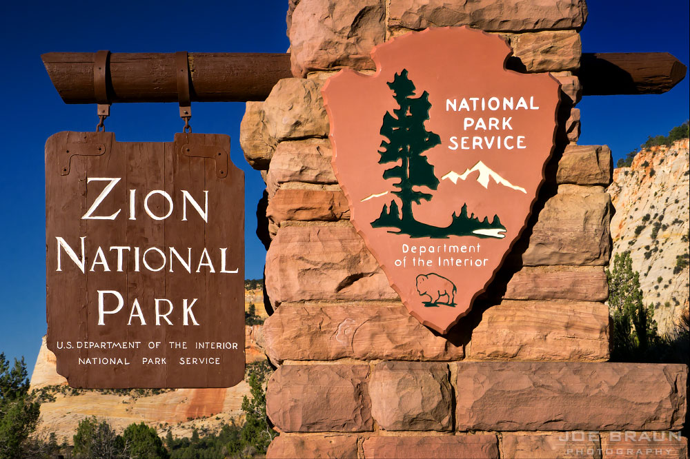
Zion 101: Let's Get Started!
Zion National Park is located in southwestern Utah close to the Arizona and Nevada borders. This is the edge of the Colorado Plateau, where the lush high country meets the lower dry desert. Zion is roughly a three-hour drive from Las Vegas, Nevada and is one of the major attractions along the "Grand Circle Tour"--a hit list of national parks that includes Zion National Park, Bryce Canyon National Park, and the Grand Canyon.
While Zion is one of the smaller parks in the national park system, it sees almost 5 million visitors every year, making it one of the most visited national parks in the United States. Because of its epic popularity, it is important to plan ahead before your visit to avoid the confusion of battling crowds and missing out on the fun. Please read through all of the pages of this introduction to get oriented for your trip to this magical national park!
Flying to Zion National Park:
Zion National Park is located in southwestern Utah in the heart of slot canyon country. If you are planning on flying in from a different region or country to visit the Grand Circle or just Zion National Park, your best bet is to fly into Las Vegas, Nevada and rent a car from the Harry Reid International Airport (LAS) consolidated rental facility. Just outside of the luggage pickup carousels is a free shuttle bus service will take you to and from the airport.

Las Vegas lives off of tourism so it is usually quite easy to find convenient and affordable flights and car rentals. It is roughly a three-hour drive from Las Vegas to Zion National Park. (Note: The Harry Reid International Airport was formerly known as McCarran International Airport until 2021.)
Driving to Zion National Park:
The map below shows the major highways and roads that connect Zion National Park with other attractions and nearby towns in the surrounding areas.


Other Attractions:
Beyond the well-known national parks of Zion, Bryce, and the Grand Canyon, several lesser-known attractions are also worthy of exploration, including Cedar Breaks National Monument to the north, Coral Pink Sand Dunes State Park on the east side, and Snow Canyon State Park northwest of St. George.
And further to the east are more of Utah's desert wonders: Grand Staircase-Escalante National Monument, Capitol Reef National Park, Canyonlands National Park, and Arches National Park to name a few.

